
Today was the day when I had to head south with a purpose.
Day 1 to An Gearisdan (Fort William)
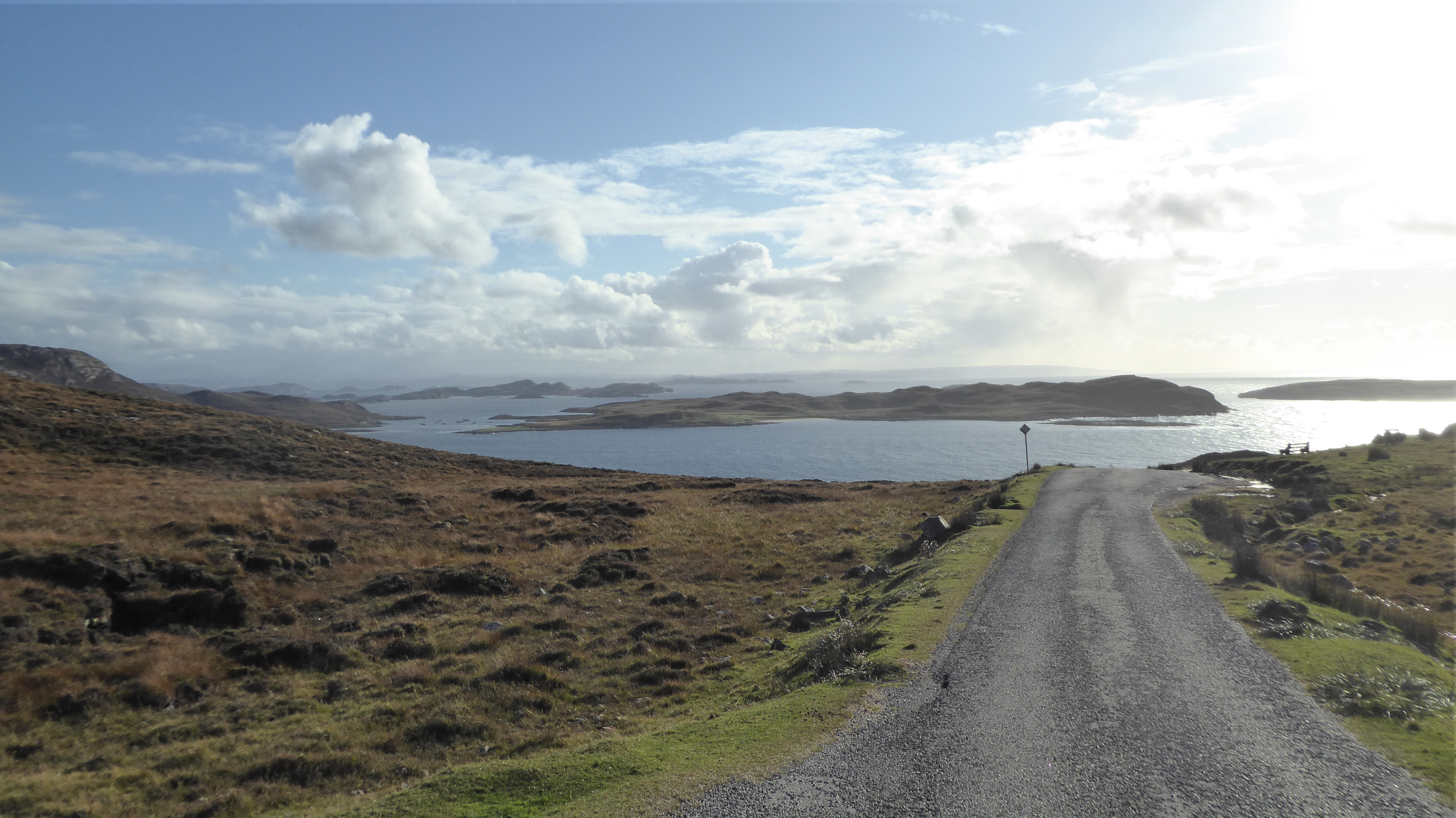
There is no direct road due south (unless you want to walk) so I set off in the direction of Loch Maree and Torridon.

- Loch Maree
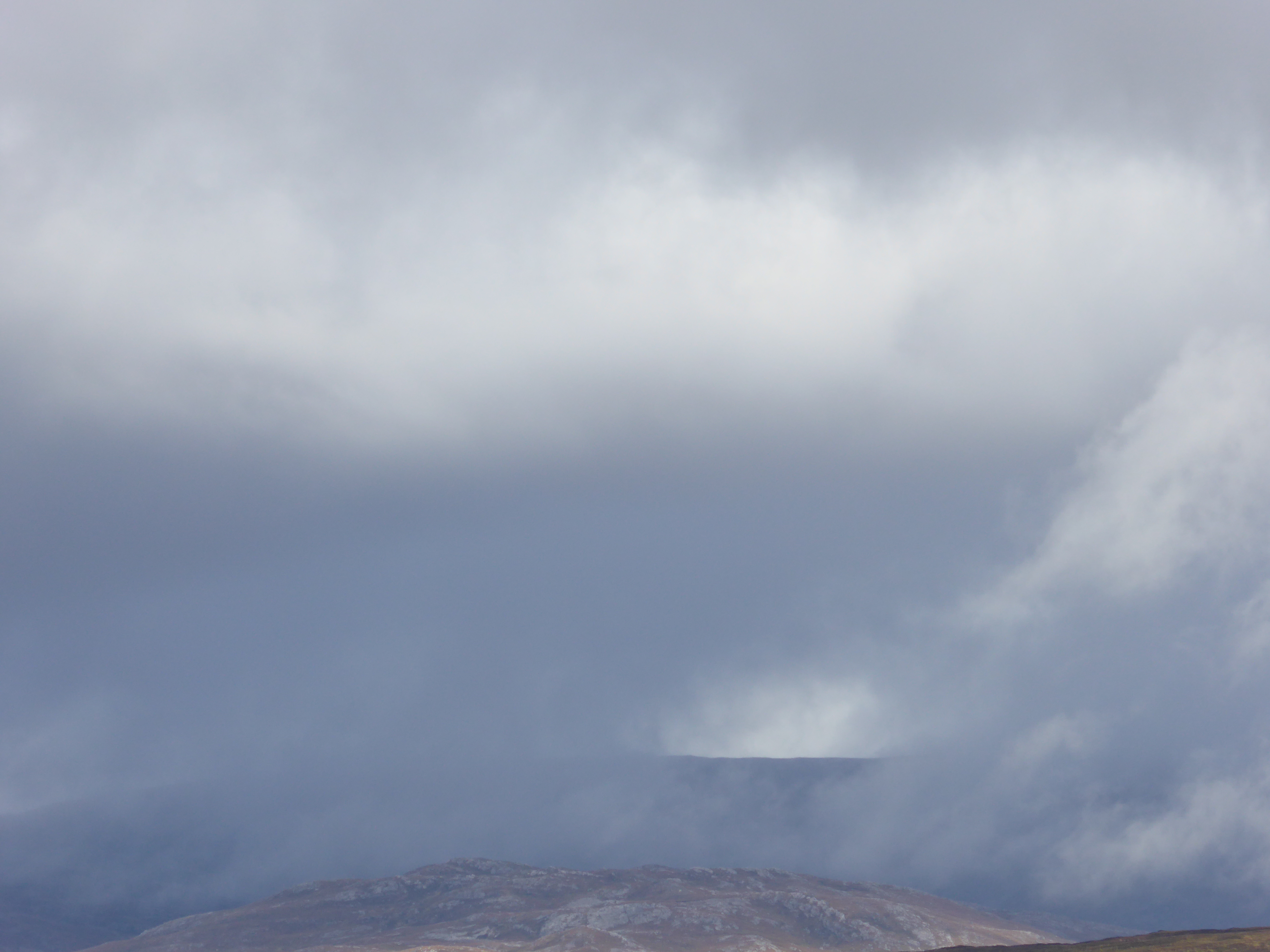
The weather was a bit overcast and drizzly, which made heading home a little bit easier. It also meant that the photographs were a bit on the grey side.
As I arrived into Torridon (an area where mobile phone signals exist) I received a text from my bike shop telling me that my Brompton (which should have been there in plenty of time for my trip) had finally arrived, and would I like to come and collect it. If I had had the bike it would have enhanced my trip, but I couldn’t really say that not having it spoiled my trip. It meant that I went for a walk where I would have gone for a ride.


From Torridon the Starlight Express and I headed on along the southern shore of Loch Torridon until we reached Sheildaig where a decision had to be made. The coastal route via Applecross and the Bealach na Bá (Pass of the Cattle) is supposed to be spectacular. It is also on a narrow single track road which climbs to a height of around five hundred and fifty metres with hairpin bends and a few unguarded drop offs. The cloud base was about three hundred metres so I would be driving the trickiest bit of the road in the clouds with next to no visibility. So, no views and the chance of accidentally driving of the edge of a cliff; I chickened out and decided to take the valley road. Next time if the weather is clear we will take it.
The valley road to Lochcarron was attractive enough though.


I stopped in Lochcarron for lunch at the Waterside Cafe. Like all the places I ate at during my trip it did simple things really well. Excellent soup and a sandwich to go with it.


Moving on after lunch I didn’t get very far. There were major road works on the other side of the loch. I think there had been a landslip. This necessitated a convoy system, which was complicated by the fact that the road was diverted onto the railway for about a quarter of a mile. Naturally the trains had priority.
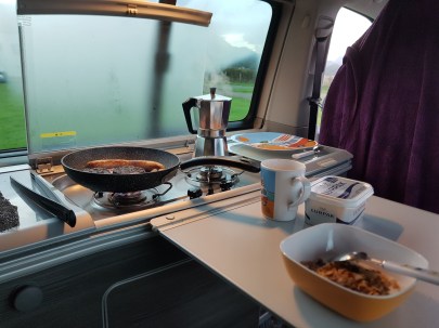
So there I was, stuck. Anyhow as I said earlier, in a camper van you can always make a pot of coffee whenever you feel like it. So I decided to do that. As Sod’s law dictates, just as the coffee pot came to the boil the traffic decided to start moving. I manged to pour it into my travel mug while ignoring the toots from the cars behind me and set off with a mug of good coffee to keep me going.
The Starlight Express, or at least her sat-nav was making a case for diverting through the Isle of Skye. It would have been less distance, but any time saved would have been dependent on the ferry to Mallaig being exactly synchronised with my schedule. I decided to stick to the mainland route.
A few miles further on I stumbled across something that I wasn’t expecting; Eilean Donan Castle. I must admit that I didn’t really know exactly where it was. But having found it I thought it would have been rude not to stop and take a few photographs at least. (Besides I did need to go to the toilet)
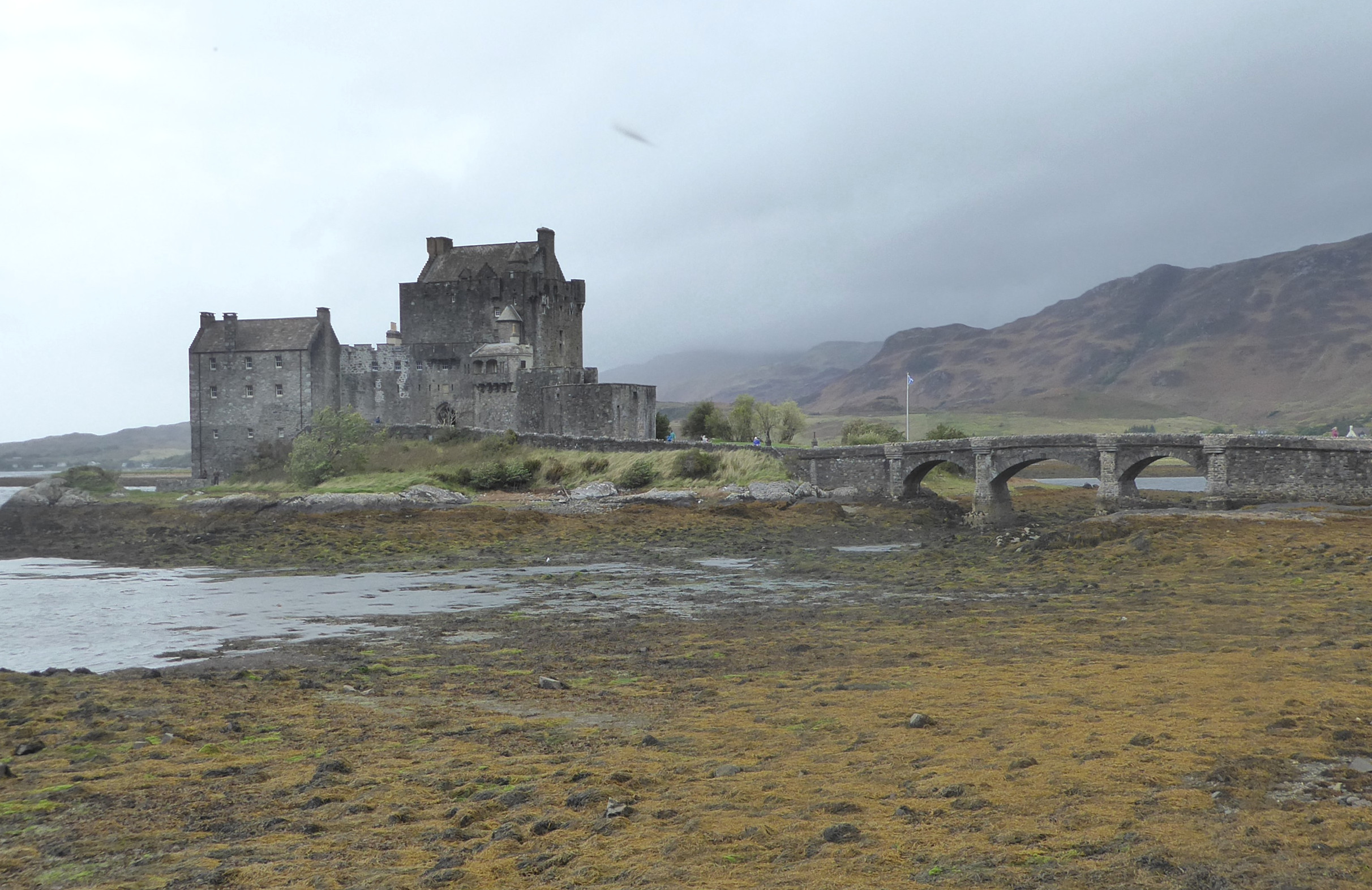
- Eilean Donan Castle
I don’t know very much about the history of the castle beyond the fact that it is a compulsory stop for every coach tour of the Highlands. but a click on the link will take you to an informative Wikipedia page. Feeling suitably relieved I pressed on to Fort William.
The weather was beginning to deteriorate and by the time I arrived at the foot of Ben Nevis it was blowing a full gale with horizontal rain.
There is supposed to be a good pub/restaurant about ten minutes walk from the campsite I was staying at, but I whether it is or not I still don’t know. I didn’t fancy arriving there looking and feeling like a drowned rat so I decided that it was a night for cooking in the van. Some pasta in a tomato and basil sauce washed down with a chilled red (the only place I could find to keep a half full bottle of wine upright was in the fridge) did the trick.
I also found a travelling companion today, Kylie the Campervan Coo.


Day 2 Back to England
The following day dawned grey, but not quite as wet and miserable as the night before. “Dreich” summed it up. The plan was to get as far south as I could, while remembering that I was still on holiday. The route more or less planned itself. Down Loch Linnie to Ballachulish, through Glencoe to Crianlarich, then down Loch Lomond to Glasgow where I would pick up the M74 for the dash south. Kylie thought the plan was OK as well, or at least she didn’t object.
The grey, dull misty weather didn’t make for great driving conditions, but It did lead to some very evocative photos, especially of Glencoe.


I didn’t have the time, and given the weather, the inclination, to do more than take a few photographs. Glencoe is a place of spectacular scenery and not a little history. The Glencoe massacre of 1692 is infamous.
Onwards and southwards, The Starlight Express, Kylie and I went, passing through Bridge of Orchy, Tyndrum and Crianlarich before arriving “By Yon Bonnie Banks” in time for morning coffee. The weather was still pretty miserable but the sun was making a vague attempt to find its way through the clouds.


Loch Lomond spat me out into the outskirts of Glasgow and traffic and dual-carriageway roads. Things that I had forgotten about in the last week or so. I coped, managed to find my way over the Erskine Bridge, onto the motorway network and eventually onto the M74 south. I stopped for lunch at a service station somewhere south of Glasgow and north of the border.
I also managed to find a bottle of raspberry wine for my friend Toby. We have a competition to see who can bring the most horrible local hooch back from holiday. There was no way that it was going to be as vile as the coffee flavoured ouzo that he brought me back from Greece. The important thing is the taking part not the winning. (It did turn out to be reasonably vile though, probably more strange than actually undrinkable.)
I crossed the border near Gretna Green. I was trying to work out how far south I could get before dark (it is easier to set the van up if it is daylight). Google said there was a campsite at Kendal, not far off the motorway, so I decided to stop there for the night.
I went for a walk into town to find something for dinner, but the only pub I found didn’t do food. I wandered back to the van. It was actually quite nice to cook one final dinner in the van.
Day 3 Home again
There isn’t that much to say about today. The Starlight Express’ Sat-Nav gave me a pleasant little tour around the foothills of the Cumbrian Fells because it thought that there was some kind of a hold up on the motorway. It eventually led me back on to the M6 somewhere around Morecombe and after that it was dive down the motorway to home. I stopped somewhere along the way for lunch and made one last pot of coffee.
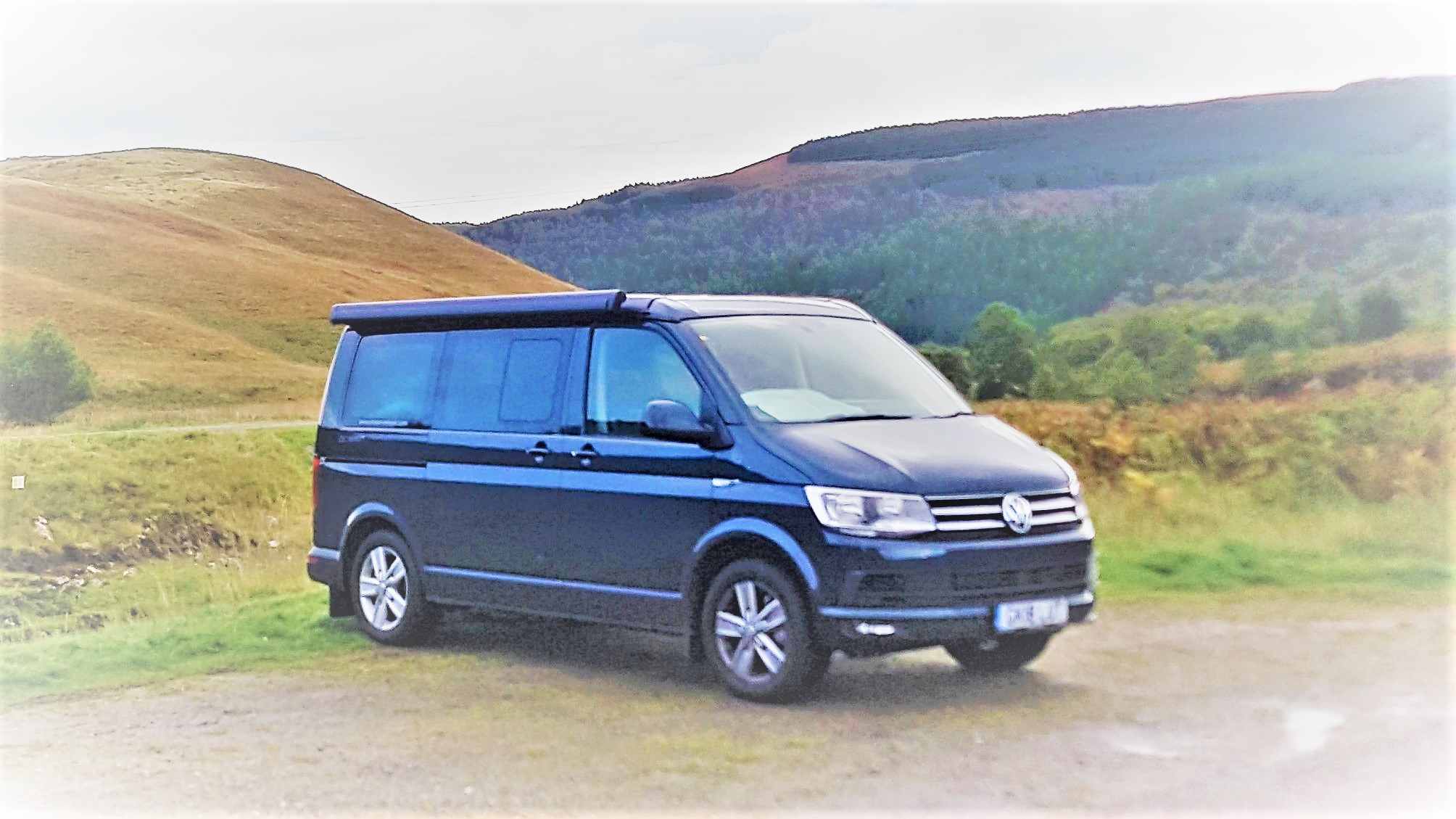
I arrived home mid afternoon and I must admit the Starlight Express looked at home on the drive.
Day 4 Saying goodbye
I had to return the Starlight Express by ten o’clock, so I was up reasonably early and about nine I reluctantly set off for Forrest Hill to return her to Campervantastic. They asked me how the trip had gone, so I told them;
“I enjoyed it so much that you may have lost a customer”


")

 bothered, given my tendency to be distracted, that I would end up on the ferry to Stornoway and a tour of the Outer Hebrides. Also when you are in a Campervan with a stove top espresso maker you can stop and make a coffee where and whenever you feel like it.
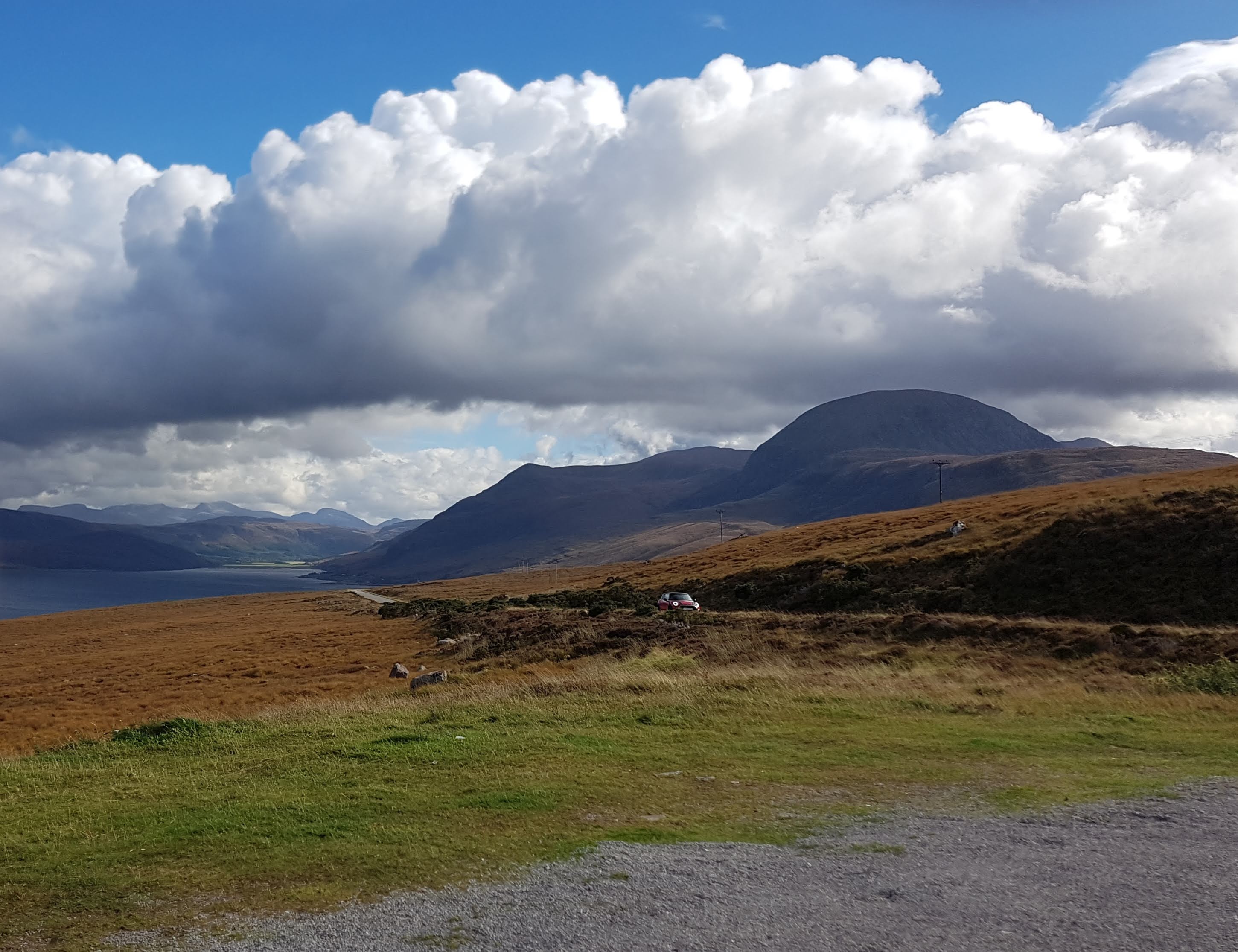 you come to a place called Gruinard and about a kilometer off the coast an island called